
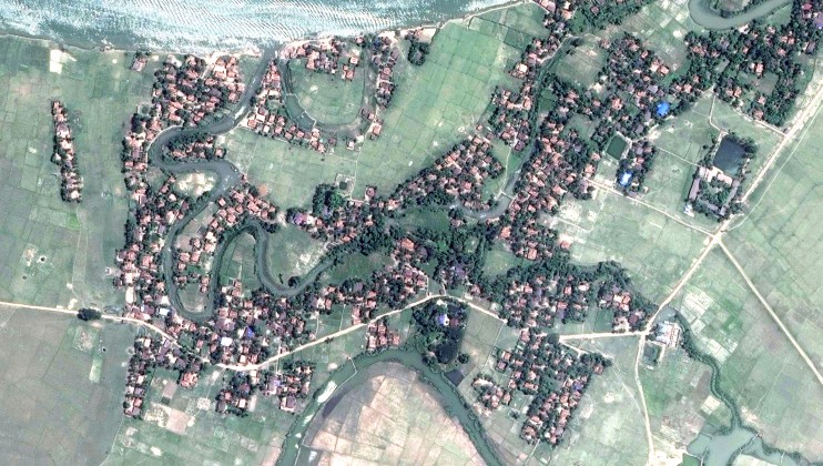
(New York, September 19, 2017) – New analysis of satellite imagery from Burma’s Rakhine State shows the near total destruction of 214 villages, Human Rights Watch said today. World leaders meeting at the United Nations should urgently adopt a General Assembly resolution condemning the Burmese military’s ethnic cleansing, while the UN Security Council should impose targeted sanctions and an arms embargo.
The detailed satellite images, made possible due to a clearing of monsoon cloud on September 16, 2017, reveal destruction from burning much greater than previously known. They show the destruction of tens of thousands of homes across Maungdaw and Rathedaung Townships, part of the Burmese security forces’ campaign of ethnic cleansing that has forced over 400,000 Rohingya Muslims to flee to neighboring Bangladesh.
Tuesday, 19 September 2017
Available in
Burma: Satellite Imagery Shows Mass Destruction
Related News

ENG
Monday, 12 October 2026
Philippines: Flood Control Project Disregards Rights
Pampanga Residents Face Flooding, Lack of Livelihoods at Relocation Site
ENG
KO
Tuesday, 8 September 2026
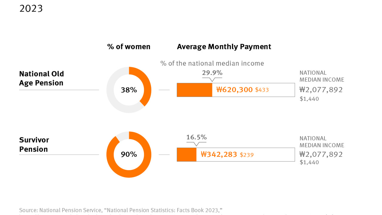
South Korea: Systemic Gender, Age Discrimination at Work
Widen Opportunities, Close Pay and Pension Gaps for Women

ENG
Monday, 18 May 2026
Myanmar: No Redress for Rohingya Muslims in Arakan Army Massacre
At Least 170 Killed at Hoyyar Siri in 2024 Amid Military Indifference; Survivors Denied Return